All of us have been focused on what TS Marco and TS Laura would bring to SE Texas. Good news is that TS Marco and TS Laura should not be a major issue for the Brazos River Watershed. Although confidence in Laura’s track is increasing there is still some uncertainty that we all need to continue to watch.
TS Marco is currently located in the northern Gulf of Mexico, south of the Louisiana/Mississippi Border. TS Marco has weakened and is expected to remain a Tropical Storm as it moves in a northwest direction along the Louisiana coastline over the next 24 to 48 hours. By later this evening into early tomorrow morning, TS Marco should dissipate into a Depression as it continues to move generally along the Louisiana coastline in a northwest direction.

The more significant threat to SE Texas is TS Laura. Currently TS Laura is moving in a northwest direction across Cuba and should enter the Gulf of Mexico late tonight into early tomorrow morning. Over the past 24 hours, Laura’s path shifted west, closer to the Texas/Louisiana Border, but this afternoon’s forecast shifted the track slightly back to the east. The forecast shows possible landfall between Sabine Pass and Lake Charles which would mean good news for the Brazos River Watershed.

Based on the forecasts and models, Laura could make landfill as a Category 2 Hurricane. Due to the possible strength and path of Laura, the NWS has issued several warnings and watches for portions of our Region. These are mainly located east of Fort Bend County, along and east of the I-45 Corridor.

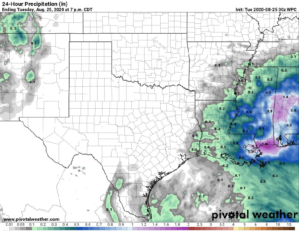
Impacts to the region will all depend on the final development and tracks of both storms, but the most significant rainfall should remain east of the Brazos River Watershed. Based on the current forecast, areas west of the I-45 corridor could see 1 to 2 inches of rainfall.

Today’s forecast does appear to show improved conditions for the Brazos River Watershed but we need to continue to watch for possible changes in Laura’s intensity and path. We encourage everyone to stay informed by visiting your favorite local weather source, including the National Weather Service, the National Hurricane Center, and West Gulf River Forecast Center. If you have not ready down so, please remember to sign up for Emergency Updates from Fort Bend County.

Two storms threaten the Texas / Louisiana Coast. Although these systems appear to be focused east of the Brazos River Watershed, take this time to evaluate your emergency supplies and plans. For more information, please visit NWS Flood Safety, Ready.gov, and FloodSmart.gov.
